In today's rapidly changing world, monitoring the environment is more critical than ever. As we face challenges like climate change, deforestation, water pollution, and natural disasters, the ability to track and analyze environmental changes is essential for informed decision-making and sustainable resource management.
One of the most powerful tools for environmental monitoring is the combination of Remote Sensing and Geographic Information Systems (GIS). These technologies enable scientists, policymakers, and environmentalists to collect, analyze, and visualize data from vast areas, offering valuable insights into environmental conditions, trends, and potential risks.
In this post, we'll explore how remote sensing and GIS are used in environmental monitoring, their benefits, and their impact on sustainable management practices.
🌍 What is Remote Sensing?
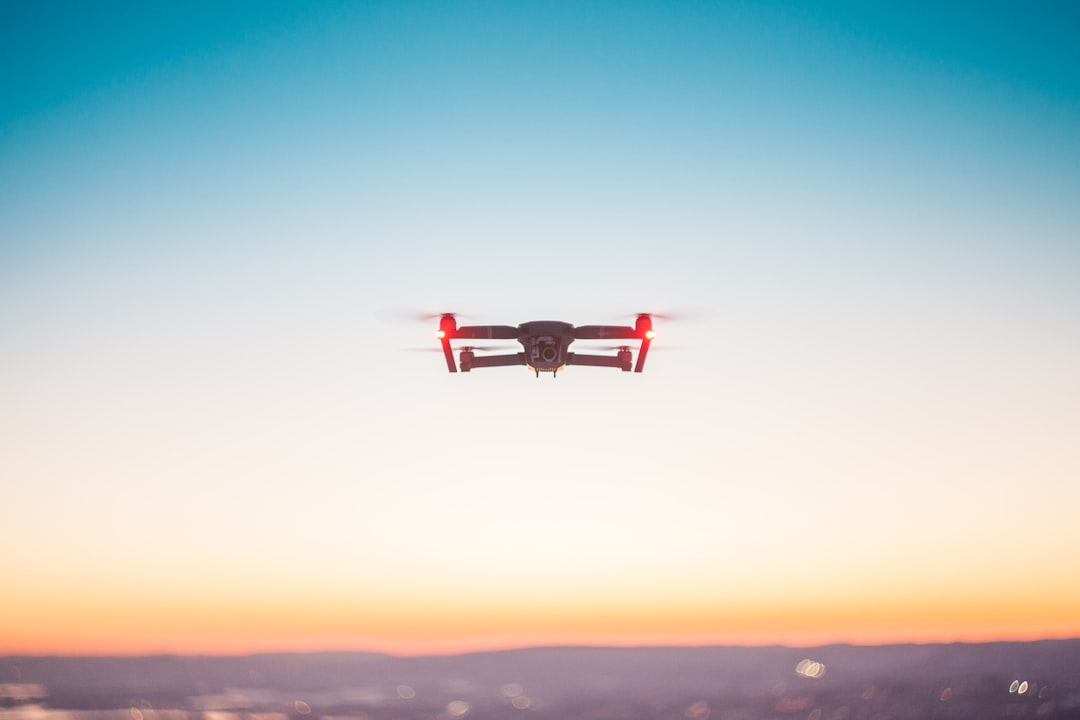
Remote sensing refers to the process of collecting data about the Earth's surface and atmosphere without being in direct contact with it. This is typically done using satellites, drones, or aircraft equipped with sensors that detect and capture various types of electromagnetic radiation, such as visible light, infrared, and radar signals.
The data collected by remote sensing tools is processed to create images or maps that provide detailed information about the environment. This technology allows for monitoring vast and often inaccessible areas, such as forests, oceans, and polar regions, in real-time or at regular intervals.
Types of Remote Sensing
-
Passive Remote Sensing: In this method, sensors detect natural radiation emitted or reflected by the Earth's surface, such as sunlight reflected off the ground or thermal radiation from land and water. Landsat satellites and MODIS (Moderate Resolution Imaging Spectroradiometer) are common examples of passive remote sensing systems.
-
Active Remote Sensing: Active sensors emit their own energy (e.g., laser, radar, or microwave signals) and then measure the amount of energy reflected back from the Earth's surface. This allows for the creation of high-resolution maps even during night-time or cloudy weather. LiDAR (Light Detection and Ranging) and SAR (Synthetic Aperture Radar) are examples of active remote sensing technologies.
🗺️ What is Geographic Information Systems (GIS)?
Geographic Information Systems (GIS) is a powerful tool for analyzing and interpreting spatial data. GIS combines hardware, software, and data to capture, store, manipulate, analyze, manage, and display geographically referenced information.
In simple terms, GIS allows users to map and analyze spatial patterns and relationships, making it a valuable tool for understanding environmental changes and planning interventions. With GIS, you can layer different types of data (e.g., land use, vegetation cover, water bodies, and pollution levels) and perform analyses that reveal important trends, such as habitat loss, deforestation rates, or the impact of urbanization on biodiversity.
🌿 Remote Sensing and GIS in Environmental Monitoring
The integration of remote sensing and GIS provides a comprehensive approach to environmental monitoring. Here's how these technologies work together:
1. Tracking Land Use and Land Cover Change
Remote sensing allows for the collection of satellite imagery and aerial photographs that show how land use and land cover are changing over time. By analyzing these images in a GIS platform, environmental scientists can detect trends like deforestation, urban sprawl, agricultural expansion, or the degradation of wetlands.
For example, remote sensing data from Landsat can be used to monitor forest cover in real-time, while GIS tools can overlay historical data to analyze the rate of deforestation or the impact of conservation efforts.
2. Monitoring Water Resources
Water bodies, such as lakes, rivers, and reservoirs, are vital resources that require constant monitoring to ensure their quality and availability. Remote sensing technologies can track changes in water bodies' size, temperature, and turbidity, which can indicate pollution, drought, or flooding.
With GIS, this data can be analyzed to identify areas of water scarcity or contamination, providing insights that help authorities take appropriate actions for water conservation and management.
3. Tracking Climate Change
Remote sensing and GIS are essential tools for understanding the impacts of climate change. By capturing long-term data on sea levels, ice sheets, and atmospheric conditions, these technologies help scientists model climate change scenarios and predict future trends.
For instance, satellite data on glacial melting can be analyzed in a GIS system to map areas that are most at risk of rising sea levels, providing vital information for climate adaptation strategies.
4. Disaster Management and Risk Assessment
Natural disasters like floods, hurricanes, earthquakes, and wildfires have significant environmental and human impacts. Remote sensing can provide real-time data during or after a disaster, allowing for quick assessment of damage and guiding relief efforts. Satellite imagery can also help identify vulnerable areas prone to natural hazards, such as floodplains or wildfire-prone forests.
In GIS, this data can be used to create hazard maps, identify evacuation routes, and plan for disaster response and recovery. For example, flood risk mapping using remote sensing data combined with GIS analysis can help local governments make decisions about floodplain zoning and disaster preparedness.
5. Biodiversity Conservation
Remote sensing and GIS are crucial in biodiversity monitoring and conservation efforts. Remote sensing can track changes in vegetation, habitat fragmentation, and species distribution over time. These changes can be analyzed in GIS to understand the factors contributing to habitat loss or to identify areas that require protection.
For example, remote sensing data can be used to identify areas with high biodiversity value, such as coral reefs or rainforests, and GIS can be used to plan and manage protected areas or wildlife corridors.
🌱 Benefits of Using Remote Sensing and GIS in Environmental Monitoring
1. Cost-Effective and Time-Saving
Traditional environmental monitoring methods often require extensive fieldwork, which can be costly, time-consuming, and logistically challenging. Remote sensing and GIS reduce the need for on-the-ground surveys, enabling large-scale environmental monitoring in a fraction of the time and at a lower cost.
2. Real-Time Data Collection
With advancements in satellite technology, real-time monitoring of environmental changes has become possible. This is especially important for tracking dynamic processes such as wildfires, deforestation, or flood events, where timely data is essential for response and mitigation efforts.
3. High Spatial and Temporal Resolution
Remote sensing technologies can capture detailed imagery at various spatial and temporal resolutions. Whether it's a high-resolution image of a small ecosystem or a global view of climate trends, remote sensing offers flexibility in monitoring different scales and time periods.
4. Comprehensive Data Integration
GIS allows the integration of multiple datasets, including remote sensing images, environmental data, and socio-economic information. This multi-layered analysis helps provide a more complete picture of environmental issues, which can inform decision-making processes at local, national, or global levels.
🌐 Conclusion: Shaping the Future of Environmental Monitoring
The combination of remote sensing and GIS is revolutionizing the way we monitor and manage the environment. By providing valuable insights into land use changes, water resources, climate trends, disaster risks, and biodiversity, these technologies help inform policies and actions for sustainable resource management and environmental protection.
As environmental challenges grow in complexity and urgency, remote sensing and GIS will continue to play a crucial role in addressing these issues. Their ability to provide timely, accurate, and detailed information enables governments, organizations, and individuals to make informed decisions that contribute to the health and well-being of our planet.
In the future, the integration of these technologies with artificial intelligence (AI), machine learning, and big data analytics will further enhance their potential, making environmental monitoring even more efficient and impactful.
Comments
No comments yet. Be the first to comment!
You must be logged in to comment. Login